First of Three Posts
Part 1:
Datil Well, Fool Hollow, Mogollon Rim
Part 2:
Historic La Posada Hotel, Petrified Forest, Painted Desert
Part 3:
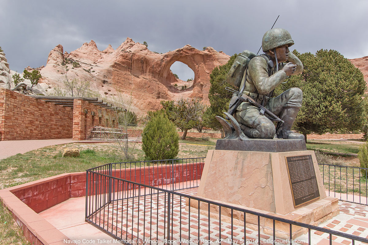
Hubbell Trading Post, Canyon de Chelly, Window Rock, Zuni Mountains
Introduction (feel free to skip down): I kept getting asked when I would put the camper on the truck and where was my first trip going to be. I didn't know, I was looking forward to my fourth season camping in my little pop-up, but was also enjoying the warm spring weather at home with the trees leafing out and all the green plants. Then I saw notice of a volunteer trail project at Datil Well in the REI Events Newsletter. I'd not been to Datil, NM. I read the description, which sounded interesting.
I realized this could be a good jumping off point to some areas in east-central Arizona that I'd never visited. By looking at my maps and looking on the net, I discovered the magnificent landscape of Mogollon Rim. I'd learned last year that the pronunciation of "Mogollon" is Muggy-own. I also saw from there I could cut up to Petrified Forest National Park that I hadn't been to since I was 10 years old. I might also revisit Canyon de Chelly, where I'd been only last fall, and get better photos of Spider Rock. OK, I had the beginnings of a plan.
Amazingly, I did/saw everything I set out to do and then some. Even though the details were impromptu, the timing turned out nearly perfect in every case. The weather was very unsettled the first few days, but did not interfere with any activities or travel.
Remember you can click on any photo to view a larger version - recommended.
There is a link at the bottom of the page for my full Mogollon Rim photo album.
April 29, 2016
Datil Well Campground, Datil, NM
I set out in the mid-afternoon for the 2-3/4 hour drive to Datil, located in west-central NM. The BLM campground is in piñon-juniper forest and located in the hills west of the St. Augustine Plain, where the Very Large Array radio-telescope is sited. Datil Well was one of the wells along the Magdalena Driveway - a trail to drive cattle and sheep from Springerville, Arizona to Magdalena where, in 1885, the AT&SF Railroad completed a line from Socorro, NM. They needed a well to water the sheep every 10 miles along the way.
I would be meeting up for my first time with
NM Volunteers For the Outdoors - an all-volunteer, non-political organization that is dedicated to improving trails and outdoor facilities throughout the state. The VFO does projects for various public agencies, such as the BLM, National Forest and Wildlife Preserves, and state parks.
I planned to arrive around 5pm, figuring most folks would be rolling in after work later that evening. I was wrong about that and was one of the last ones to arrive. The group camping area is set up mainly for tent camping, but there was a parking area for those of us who are motorized. When I pulled in there was a big RV, a 5th-wheel trailer, and a pop-up camper amid the parked cars. I found a space for myself and shortly thereafter another pop-up camper arrived (both those rigs being the larger, heaver commercial units on big trucks. Still, finding two such in this small group was interesting and I enjoyed comparing notes with their owners.)
 |
| Group campsite parking/camping. |
The warm weather of the previous week was gone and I'd driven down through light, spotty rain storms down I-25 and west on US-60. Folks were gathered in the group "shelter" (picnic tables under a roof) socializing in heavy coats. A group of us decided to get out of the cold and have dinner in the nearby town of Datil. There was more socializing around the campfire after dinner with one generous attendee sharing his fine, Santa Fe distilled whiskey for those who wished to partake. It was very smooth!
 |
| Datil Well is located in the Piñon/Juniper ecosystem |
April 30th
Datil Well Campground (continued)
A hot breakfast was provided by the VFO. Turns out the cooks brought the RV and used their kitchen for brewing coffee and cooking the food. We had our breakfast burritos with hashbrowns and prepared for a day of hard trail work.
 |
| Finishing coffee and breakfast |
After breakfast we met with BLM ranger, gathered the tools provided by the VFO, and hiked less than a mile to the work area. We were tasked with creating three new trail segments to bypass heavily eroded and/or steep old trail sections.
 |
| VFO builds a new trail segment |
 |
| Timber crew clears the way. |
We had brought our own lunches and with our large crew finished our scheduled building by mid-afternoon. We hiked back to camp where we socialized until the cooks brought out the barbecued chicken, pasta salad, tossed salad, and chocolate cake. After dinner it was again tales around the campfire until we each went to our beds.
May 1st
Datil Well Campground (continued)
Breakfast on Sunday morning was French Toast and sausages. As we had accomplished so much on Saturday, our tasks today were light maintenance on the existing trail sections. Another volunteer and myself, who had GPS units, measured/mapped the newly built sections so BLM could update their maps. We finished just before noon and everyone broke camp and headed home.
I didn't head for home as I had more exploration and camping in mind. I headed west on US-60 stopped for lunch in Pie Town. As the famous Pie-O-Neer restaurant is closed on Sunday, I was able to avoid the irresistible temptation of their famous pies. I continued west on 60 to Springerville/Eager, Arizona, but instead of continuing on the US highway to Show Low. I chose to drive to that destination via AZ-260 though part of the Apache Reservation. This alternate route looked more scenic on my maps.
Indeed, the well-maintained highway climbed up through a volcanic zone into a forested mountain area that obviously gets lots of snow in winter. The weather was still chilly with storm clouds. Once out of the reservation, that next 15+ miles to Show Low is heavily developed. It is packed with resorts, golf courses, lodges, and homes from mid-sized to mansions.
Fool Hollow State Park, Show Low, AZ
I had tentatively planned to camp at Fool Hollow State Park which is on the NW edge of Show Low as it has hot showers that would be welcome after a weekend of trail building. It was early enough in the afternoon I considered driving on by, especially as the weather didn't seem conducive to outdoor activities and I'd rather not simply sit in my camper for hours. However, as I was in the area I decided to check it out. You can leave the day-entry fee as a deposit at the manned entry station and then are allowed half an hour to tour the park and decide if you want to stay. I was given a map and directions to the section of non-hookup camping away from the RV area.
It is a lovely state park along the man-made Fool Hollow Lake. It is one of the best maintained and manicured campgrounds I've seen with concrete roads and parking. The tent pads and the areas around the picnic tables are fine, crushed rock that had been recently raked. Most of the campsites in the non-hookup area are on the bluff right along the lake. I found a pretty site surrounded by trees near the showers with a view of the lake. As there was some blue sky showing, I decided I would indeed camp here. I drove back to the entry station and paid for the site for the night.
 |
| My campsite in Osprey Loop |
 |
| Fool Hollow Lake next to my campsite |
After setting up, there was enough blue in the sky that I walked down to the lake and along the shore. I was treated to the sight of an Osprey calling and flying over the lake. When I got back to camp, I took my shower and climbed into clean clothes. I spotted a Bald Eagle flying over the camp that evening. There were only a couple of other campers in the non-hookup section of the park.
May 2nd
Fool Hollow State Park (continued)
After breaking camp, I thought I would look at the rest of the state park before heading west. I drove though the RV areas located in an attractive, forested, hilly area above the lake - although there were very few campers in my section the night before, most of the RV sites were full. I looked at the boat ramp and later spotted an Osprey with a fish in its claws - and even got passible photos!
 |
| Osprey with breakfast |
I also drove to the day use areas on the other side of the lake where I was able to get nice photos of a Great Blue Heron and other views of the lake before heading out.
 |
| Main section of lake. My campsite was 1/8 mile to the right of those rock cliffs seen at the far end. |
 |
| Great Blue Heron looking for a meal. |
 |
| The heron decides to try fishing in another cove. |
Sitgreaves National Forest
I drove west on AZ-260 which parallels the Mogollon (pronounced: muggy-own) Rim in this area, but is several miles north of the feature. My goal was that section of the rim north of Payson. I stopped at the Black Mesa District Ranger Station in Overgaard for info. Regular readers of this blog know I frequently stop at ranger stations for advice and conditions. If the person on duty has worked there for years and wishes to be helpful, the advice is great; if it is a new volunteer, then the information can be inadequate or inaccurate. I lucked out this time as there was a very knowledgable and friendly lady on duty and she was training a gentleman new to the area. She was able to provide conditions and info on camping & sightseeing opportunities for the Rim Road I intended to explore (only the first third of which is in Sitgreaves NF.) The gentleman strongly recommended that if I was going through Winslow (I'd mentioned visiting Petrified Forest after the Rim), I should stop at the La Posada Hotel - more on that later.
 |
| Looking roughly SW from the top of Mogollon Rim. |
I drove about another 20 miles to the Mogollon Rim Visitor Center which, though it was closed, has a viewing deck looking out over the rim. The rim is the very dramatic southern edge of the Colorado Plateau. The land falls away rapidly, dropping two to three thousand feet in just a few miles. I'd learned at the ranger station that the first few miles of the Rim Road were paved with several overlooks. The road then turn to dirt which was very muddy after the recent rains, but only for the eastern most section, they said.
As I wanted to view the rim from the low side, too, my new plan was to drive the paved portion, taking morning photos off the rim, then head down to Payson. I would visit the Tonto NF Ranger Station there to learn about the roads below the rim to explore and get lunch in Payson.
There are a number of overlooks along the paved section of Rim Road. I stopped at them all for photos, even though the light wasn't ideal with all the clouds.
 |
| You can see a portion of AZ-260 from this overlook. |
 |
| Looking roughly SE off the rim. |
 |
| Another view from another overlook. |
Payson, AZ
I returned to 260 and drove off the rim and to Payson. It turns out, despite the posted hours, the station closed during lunchtime, so I ate first then got information.
I drove north from Payson on 260, but before reaching Pine, I turned east on FS-64, Control Road (as in fire control,) that roughly parallels the rim from below. I saw virtually no one on the first half of the road, until I reached Houston Mesa Road. I had originally intended to drive up that road from Payson, but it was poorly marked at the south end and I missed the turn. I dove down that road for a few miles just to see what was there. It was mostly summer homes with a few NF picnic areas at the (dry) river crossings so didn't go far, but backtracked to Control Road and headed east again. The length of Control Road is through Ponderosa forest. The eastern portion was more heavily used and there are areas showing scars from wildfires. There were side roads to summer home areas and more traffic along this stretch.
 |
| Driving east on the western portion of Control Road with the rim in the background |
There were a few dispersed camping sites along both the western and eastern halves, but only one I saw with a view. There were side roads and perhaps with some local knowledge one could find interesting camping up one of those. However, I had my heart set on camping along the rim this night.
 |
Panorama of the rim from Control Road. This was taken at the only dispersed camping site I found with a view.
Email me if you'd like the coordinates to find this site for yourself. |
I did drive a couple of miles south of Control Road on a side road that leads to the Diamond Point lookout, as the map had showed a quartz crystal collection area that is open on NF lands. At the ranger station they said you could walk along there an find small crystals on the ground; that hand-digging was only allowed October through February. I stopped and walked around amid all the pock-holes that others had failed to backfill, but found nothing, so continued on.
As I was eager to return to the rim and find a good camp site, I didn't explore further off Control Road. I'd heard the Upper Tonto Creek area was attractive. There is a developed campground and at the end of the road a fish hatchery.
I regained AZ-260 and drove back east to Rim Road. I stopped again at the overlooks along the paved portion of the road to get afternoon photos.
 |
| View from the overlook. Still lots of clouds making a patchwork of the landscape. |
When the pavement ended, I was gratified that my plan to wait until the afternoon to drive this section paid off by the mud having dried out. I drove through the Mogollon campground just off the road, but it was back from the rim and had not much to recommend it. The Rim Lakes recreation area is near here, too, away from the rim, but I skipped this popular area with its developed campgrounds and lakes. As I drove along, there were signs, "Camping in Numbered Sites Only," which had me wondering how far I'd have to go to find the dispersed camping that the lady at the Overgaard station had said was available.
 |
| A couple of Wapiti crossed the road in front of my truck. I manage to get this photo out the window. |
Mogollon Rim Camping
Seems like I had only gone a couple of miles when I saw a sign pointing toward the rim which said "Camping Area." I turned down this road and found a treasure trove! I did not see a route sign on the road, but on the map it is named FR-9350. Once the road got within view of the rim, it turned west and roughly followed the rim. There were numbered sites on each side of the road. They have an interesting system here as it is such a popular camping area. The sites are effectively "dispersed" without facilities, though some sites have picnic tables. They control the camping by placing a post at each site and you are required to only camp within 50 feet of that post.
As I drove along looking at the sites there were a few folks already camped. I kept seeing sites that looked very good, then a bit farther, another site looked even better. This kept up as I drove along, leaving the other campers behind. After a while, I was thinking "I hope this road ends soon or I'll never be able to pick a site." Finally, I simply stopped and turned around to head back to the last, best site I'd seen. I wanted an attractive site with an unobstructed view off the rim, and that would be away from other sites should other campers come to occupy those later that afternoon.
 |
| My campsite on the Mogollon Rim |
I picked site #32 and I thought it almost perfect. FYI, site #30 is also excellent - the view is slightly obstructed by trees, but it has a longer level section and a picnic table which mine did not. If you want to find this specific site, email and I can send the coordinates. I leveled my camper only about 30' from the rim itself affording great views looking out from inside. I never saw another soul the whole time I was camped there.
 |
| 180º iPhone panorama looking off the rim and taken from my campsite. |
I was very happy to find this site and spent lots of time just admiring the view and taking pictures. On the rim, I had great cell service, including LTE, so took advantage of that, too. I was slightly concerned the wind might come up that night, as exposed as I was so close to the rim - after all, I was hit pretty hard when I camped by the edge near Muley Point. The wind did come up around sundown, but it was from the north and I was well shielded by the trees at my back.
 |
| Evening view from my campsite. |
May 3rd
Mogollon Rim (continued)
I got up early hoping for good photo opportunities as the sun rose, but those images turned out not very interesting, so none of those dawn are included here. After breakfast I also took more photos of the rim and the amazing view.
 |
| Looking roughly SW from near my campsite. |
 |
| Looking back at my campsite. See my truck/camper? |
After breaking camp, I resumed my drive west on Rim Road. I thought I'd try a side road that led down to what might be an intersting view, Promontory Butte. There is no warning as you start driving toward the rim, though the road is in poor condition. In fact it was one of the more unpleasant roads I've ever driven and showed no indication of getting better as I creeped along. I finally gave up far short of the end, turned around, and got back on Rim Road. Consider yourself cautioned - it is passible, but no fun.
Bear Canyon Lake, Sitgreaves NF
I thought to check out one of the small lakes in the area. Bear Canyon Lake was only a couple of miles off the "main road" and I could take a look at the campground, too. Turned out, the basic/primitive campground was not very attractive - moderately convenient for folks fishing, though not that close to the lake.
 |
| Shoreline view of Bear Canyon Lake |
I could not see the lake from the road. There are two parking areas with trails leading down to the lake. I decided I'd try one as the sign said it was only 0.2mi to the lake. The trail led steeply down though a thick forest of primarily Ponderosa pine. This man-made lake was attractive with its rocky shoreline and the heavily forested hills.
 |
| This Western Grebe was diving for fish. |
I negotiated the uneven trail toward the dam. I saw a grebe diving for fish on the lake and there were a number of wild birds mostly hiding in the trees. There were a couple of families fishing in the dam area. A very pretty area.
Coconino National Forest
I hiked back up to my truck, headed back to Rim Road and continued on to the west. After driving only a few more miles I entered Coconino National Forest. There were a few dispersed camping sites scattered widely along the road with long stretches out of sight of the rim. The area seemed to become dryer and there began to be evidence of wildfires some years ago.
 |
| Looking south from the western section of Rim Road. |
As I approached the western portion of the Rim Road, with dramatic views off the rim, there was more evidence of fire some time in the past with large tree trunks laying like pick-up sticks. They'd been down so long all their bark was gone and the wood bleached by the sun. There was regrowth in some areas, but in other areas and on the slopes below the rim there was very little green. I'm guessing the modern era has been simply too dry to regrow the forest in this area. The view was nonetheless something to behold and I pulled off next to the rim, sat on a big log and had lunch, gazing off into the distance.
 |
| Here is the view I had while enjoying lunch. |
A few more miles and the road dipped back down into a forested region and I soon arrived at AZ-87. I do recommend taking the time to visit this area and explore. The Rim Road was well maintained and suitable for all vehicles. My photos do not do justice to the majesty of the views off the rim.
Journey continues in Part 2.
[Updated December 8, 2018 to correct information on railroad location and stock driveway in first paragraph about Datil Well.
Thanks to Larry Watkins for catching my error.]